

barrow way
about
stages
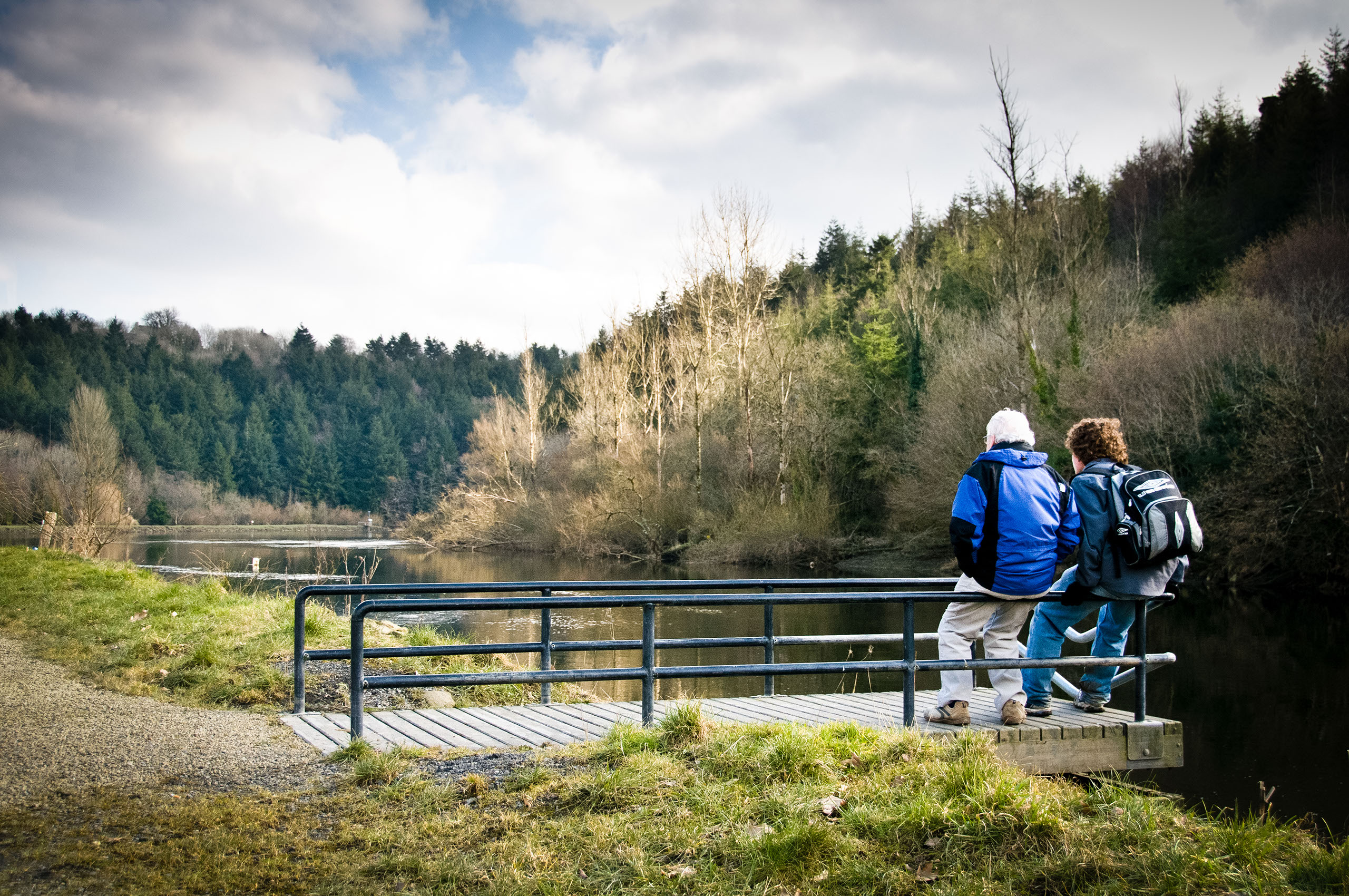
The 'Barrow Way' is a long-distance walking trail which follows the original towpath of the river. It is one of Ireland's most scenic long distance trails but remains largely undiscovered.
Walking the Barrow Way is a very popular activity. The towpath was used for the pulling of barges and boats by horse in the past. The track along the Barrow starts at Lowtown, Co. Kildare and ends at St. Mullins, Co. Carlow covering a distance of 114 kilometres or 70 miles. The path takes in the towns of Monasterevin, Athy, Carlow, Leighlinbridge, Bagenalstown, Goresbridge, Graiguenamanagh and St Mullins.
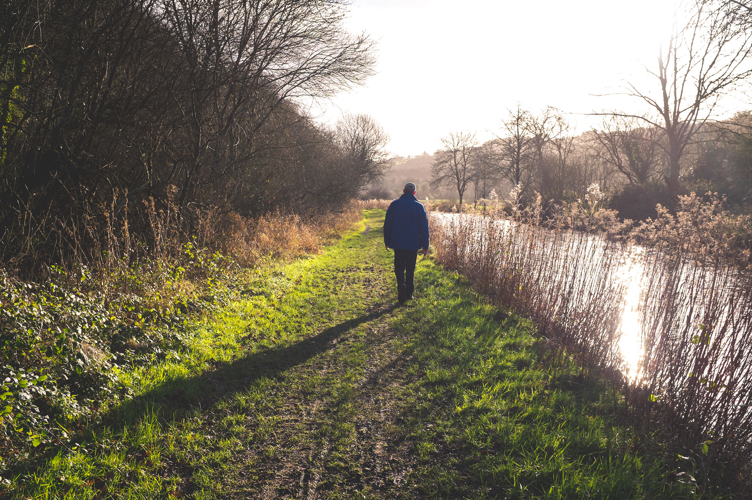
The full walk of the path usually takes 4 days. Alternatively, the route can be divided into a series or more manageable stretches and covered in a series of day trips. Accommodation is available from 3 to 19 kilometres and varies from hotels to self-catering and bed & breakfasts.
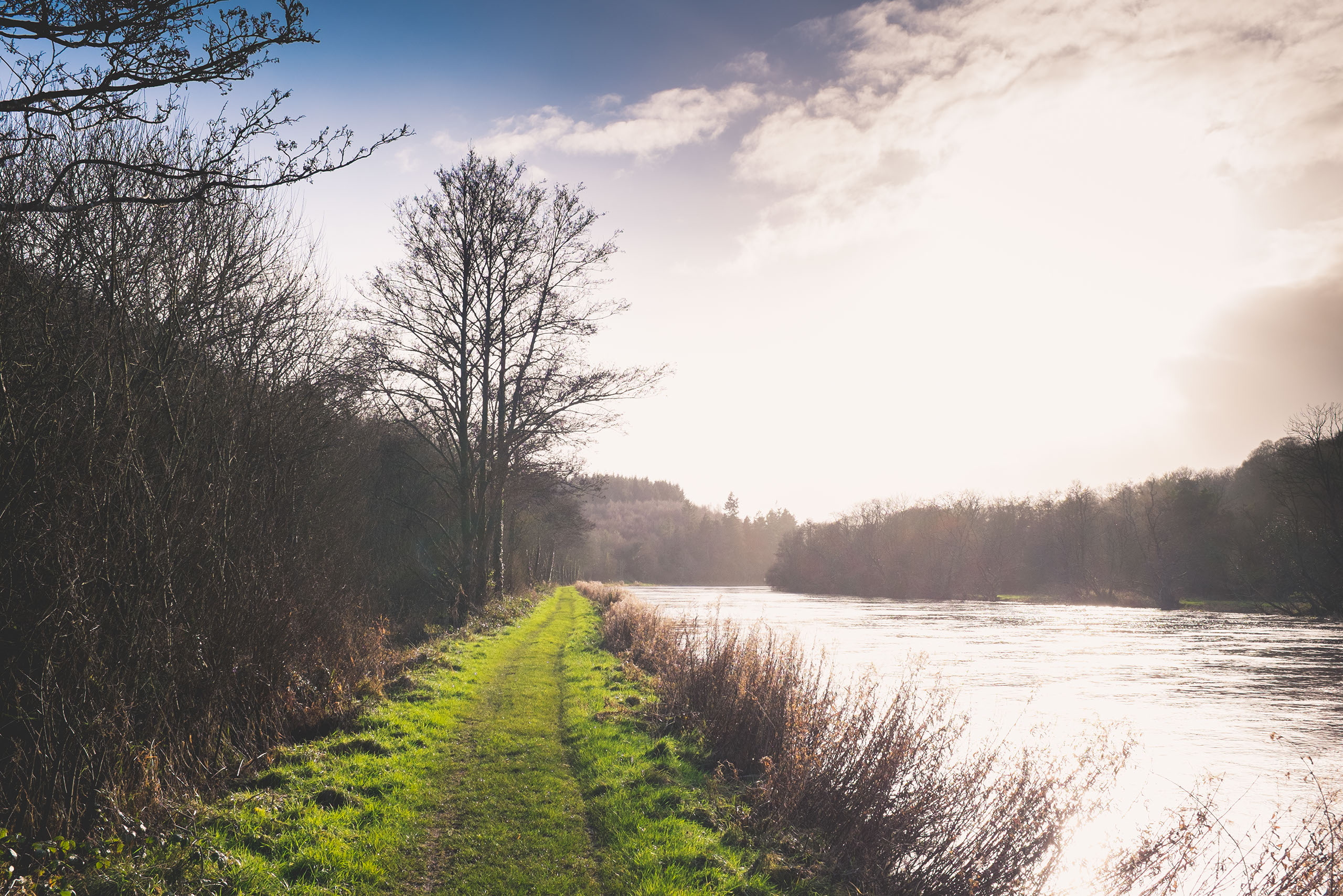
The route of the Barrow Way offers excellent and varied walking to visitors, the ground is level throughout passing good farmland where tillage and cattle farming is predominant. The flat terrain is also ideal for cycling, although the ground is rough in areas. The route is abundant with architectural interest including bridges, many arched, and pretty lock houses, some still in use. Many historical features are located in close proximity to the river including castles, abbeys, old bridges and derelict mills.
At present, the route is most popular with day walkers who cover stretches of the path rather than one continuous walk.


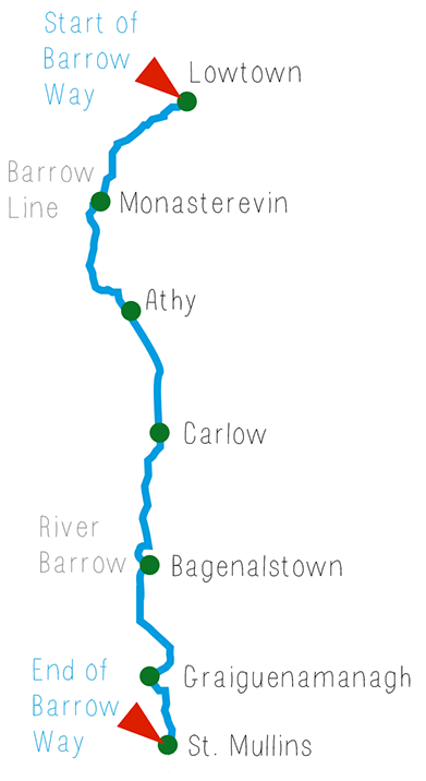
Here the Barrow Way is divided up into six sections, ranging in length from 23 kilometres to 6 kilometres.
STAGE 1
Starting in Lowtown, Co. Kildare and covering a distance of 23 km (14 miles) the Barrow Way takes you to the town of Monasterevin. The raised banks of the canal offer beautiful views of the surrounding countryside including the Hill of Allen and the Wicklow Mountains. Monasterevin takes its name from a monastery founded in the 6th century by St. Elvin of Cashel, one of the ruling Eoghanacht sept of Munster. At Fisherstown Bridge the road that crosses the canal is said to follow one of the ancient routes across Ireland. The ruined fortress of Dunamase, destroyed by the Cromwellians in 1650, was the scene of a number of sieges.
STAGE 2
Covers the stretch from Monasterevin to Athy – 23km (14 miles). This stretch of the Barrow Way offers the visitor many architectural points of interest with a number of old and quaint bridges and houses positioned along the route of the track.
STAGE 3
Runs from Athy to Carlow – 19km (12 miles). This is the first of four stretches of the Barrow Way which pass through the county of Carlow. Starting from the heritage town of Athy, the route passes many interesting lifting bridges and old mills before reaching Carlow town, the largest settlement on the Barrow.
STAGE 4
Carlow to Bagenalstown - 16km (10 miles). Milford, approximately 7 km south of Carlow is one of the most attractive areas along the Barrow Way. Set in an idyllic location with three bridges, mill buildings and a large wooded area it is famous as an aquatic triangle with regular sightings of herons and kingfishers. Many historical buildings and castles are located on this stretch, including the Black Castle at Leighlinbridge and a number of architectural gems in the town of Bagenalstown, where this walk ends.
STAGE 5
Taking the walker from Bagenalstown to Graiguenamanagh, 26km (16 miles), this section of the Barrow Way passes the small villages of Goresbridge and Borris before ending in Graiguenamanagh, a scenic abbey town and a popular boating and craft hub. Overlooking the River Barrow is Duiske Abbey founded by Norman monks from Stanley Abbey, Wiltshire in 1204. The “Early English” design boasts a lofty nave and it is the largest of Irish Cistercian monastery churches.
STAGE 6
Graiguenamanagh to St. Mullins – 6km (4 miles). The final stretch of the Barrow Way encompasses beautiful woodland surroundings, and a strong ecclesiastical theme in the religious settlement at St. Mullins. The complex includes a medieval church ruin, the base of a round tower and the former Church of Ireland church, built in 1811, which now hosts a heritage centre. The lower settlement is set on a glorious stretch of the Barrow Valley and includes a picnic area, café and popular boating, fishing and swimming areas. This is the end of the walk on the Barrow Way.